
Beyond the Hobbyist: The Expanding World of Industrial Drones
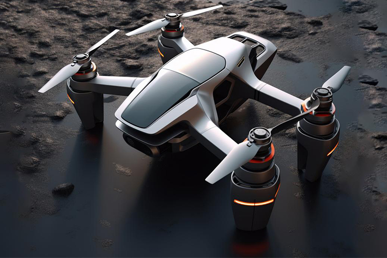
Gone are the days when drones were merely high-tech toys for enthusiasts. Today, Industrial Drones or Unmanned Aerial Vehicles (UAVs) have emerged as powerful tools transforming operations across a multitude of sectors. By offering a unique bird's-eye view, capturing granular data, and accessing hard-to-reach areas, they are driving unprecedented levels of efficiency, safety, and cost-effectiveness. Here’s a look at the key areas where industrial drones are making a significant impact.
1. Construction and Infrastructure
From blueprint to completion, drones are revolutionizing the construction industry.
- Surveying and Mapping: Drones equipped with high-resolution cameras and LiDAR sensors can rapidly survey large tracts of land, creating highly accurate 2D maps and 3D models of the terrain. This data is crucial for site planning, earthwork volume calculations, and progress tracking.
- Progress Monitoring: Project managers can conduct weekly or even daily flyovers to monitor progress against the project timeline, providing stakeholders with real-time visual updates without needing to be on-site.
- Inspections: Drones safely inspect structures like bridges, roofs, and tall buildings, identifying cracks, corrosion, or other structural issues without the need for expensive and dangerous scaffolding or rope access teams.
- Stockpile Management: They can quickly and accurately measure the volume of raw materials like sand, gravel, or coal in stockpiles, streamlining inventory management.
2. Agriculture (Precision Agronomy)
Drones are at the forefront of the precision agriculture movement, helping farmers do more with less.
- Crop Health Monitoring: Using multispectral and thermal sensors, drones can identify areas of stress caused by pests, disease, or lack of water long before the human eye can see it. This allows for targeted intervention, saving water, fertilizer, and pesticides.
- Field Mapping: They generate detailed maps for planting, soil analysis, and irrigation planning.
- Precision Spraying: Specialized agricultural drones can spray fertilizers or pesticides with pinpoint accuracy, reducing chemical runoff and exposure for workers.
3. Energy and Utilities
The energy sector relies on drones to maintain vast and often remote infrastructure.
- Solar Farm Inspections: Thermal imaging drones can quickly scan thousands of solar panels, identifying faulty cells or connections that are underperforming, ensuring maximum energy output.
- Wind Turbine Inspections: Drones capture high-resolution imagery of turbine blades, detecting surface cracks, erosion, or lightning damage without requiring the turbine to be stopped and climbed—a process that is both time-consuming and hazardous.
- Oil and Gas Pipeline Monitoring: They patrol long pipeline routes for leaks, encroachments, or other integrity issues, and inspect flare stacks and other high-value assets safely from a distance.
- Power Line Inspections: Drones inspect power lines and transmission towers for damage, vegetation overgrowth, or wear and tear, helping to prevent outages and wildfires.
4. Mining and Quarrying
In the mining industry, drones enhance both safety and operational efficiency.
- Volume Calculations: They provide highly accurate measurements of extracted materials and remaining reserves, replacing traditional, less accurate survey methods.
- Site Planning and Management: 3D models of the mine help in planning excavation phases, managing haul roads, and ensuring compliance with design specifications.
- Enhanced Safety: Drones can monitor unstable slopes and highwalls for signs of movement, alerting personnel to potential landslides or collapses.
5. Public Safety and Emergency Services
Drones are becoming indispensable first responders.
- Search and Rescue (SAR): Equipped with thermal cameras, drones can cover large areas of rugged terrain at night or in poor visibility to locate missing persons much faster than ground teams alone.
- Firefighting: They provide real-time situational awareness during wildfires, helping to track the fire's spread, identify hotspots, and ensure the safety of firefighting crews. They are also used for assessing structural fires.
- Disaster Assessment: After natural disasters like earthquakes or floods, drones can quickly and safely map the affected area, identifying damaged infrastructure and helping to coordinate relief efforts.
- Law Enforcement: They are used for crime scene documentation, accident reconstruction, and monitoring large public events for crowd management.
6. Environmental Monitoring
Drones are gentle guardians of the natural world.
- Wildlife Conservation: Researchers use drones to monitor wildlife populations, track animal movements, and combat poaching in protected areas without disturbing the animals.
- Forestry: They are used for forest inventory, monitoring deforestation, and assessing the health of large forested areas.
- Coastal and Water Management: Drones map coastlines to track erosion and monitor water quality in lakes and rivers.
Conclusion
The applications for industrial drones are vast and continually expanding. As sensor technology advances and regulations evolve, their role in our economy and society will only grow deeper. By providing a safe, efficient, and data-rich perspective, industrial drones are no longer just a novelty—they are a fundamental component of modern industry, paving the way for a smarter, safer, and more productive future.


